
Mohnton topographic map
Interactive map
Click on the map to display elevation.
About this map
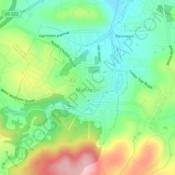
Name: Mohnton topographic map, elevation, terrain.
Location: Mohnton, Berks County, Pennsylvania, United States (40.27751 -75.99953 40.29512 -75.97631)
Average elevation: 169 m
Minimum elevation: 98 m
Maximum elevation: 293 m