
Awārān topographic map
Interactive map
Click on the map to display elevation.
About this map
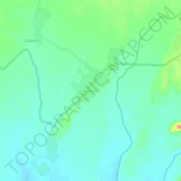
Name: Awārān topographic map, elevation, terrain.
Location: Awārān, Awaran District, Balochistan, Pakistan (26.43550 65.21120 26.47550 65.25120)
Average elevation: 524 m
Minimum elevation: 509 m
Maximum elevation: 569 m