
Wolf topographic map
Interactive map
Click on the map to display elevation.
About this map
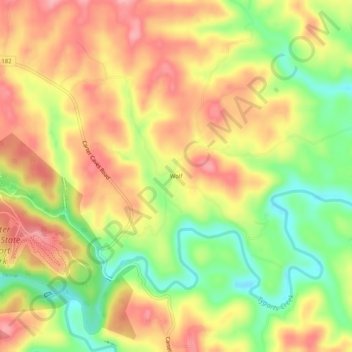
Name: Wolf topographic map, elevation, terrain.
Location: Wolf, Carter County, Kentucky, United States of America (38.35925 -83.11934 38.39925 -83.07934)
Average elevation: 271 m
Minimum elevation: 205 m
Maximum elevation: 325 m