
Vantage topographic map
Interactive map
Click on the map to display elevation.
About this map
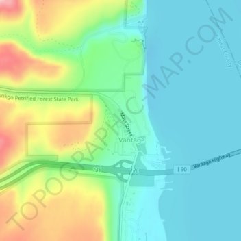
Name: Vantage topographic map, elevation, terrain.
Location: Vantage, Kittitas County, Washington, United States (46.94099 -120.00120 46.95078 -119.98303)
Average elevation: 218 m
Minimum elevation: 167 m
Maximum elevation: 344 m