
Relan topographic map
Interactive map
Click on the map to display elevation.
About this map
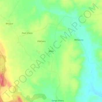
Name: Relan topographic map, elevation, terrain.
Location: Relan, Chhoti Sadri Tehsil, Pratapgarh, Rajasthan, India (24.28271 74.57379 24.32271 74.61379)
Average elevation: 451 m
Minimum elevation: 417 m
Maximum elevation: 500 m