
Chintamani topographic map
Interactive map
Click on the map to display elevation.
Chintamani
Chintamani lies in the southeast of the South Indian state of Karnataka. It is in the heart of the Mysore Plateau at an average elevation of 865 m (2,838 ft). The Taluk geographically lies between 78°12′36″N 13°16′38″E / 78.21000°N 13.27722°E / 78.21000; 13.27722 and 77°51′39″N 13°42′00″E / 77.86083°N 13.70000°E / 77.86083; 13.70000. The Chintamani Town lies between 13°24′N 78°04′E / 13.40°N 78.06°E / 13.40; 78.06.
About this map
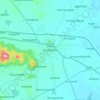
Name: Chintamani topographic map, elevation, terrain.
Average elevation: 886 m
Minimum elevation: 833 m
Maximum elevation: 1,336 m