Geolocate

Barstow topographic map

Click on the map to display elevation.

About this map

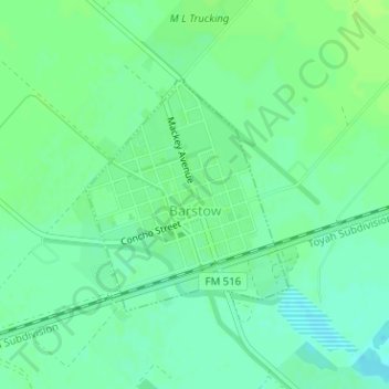
Name: Barstow topographic map, elevation, terrain.

Location: Barstow, Ward County, Texas, United States (31.45450 -103.40354 31.47068 -103.38699)

Average elevation: 784 m

Minimum elevation: 777 m

Maximum elevation: 789 m

Gear up for your next adventure:

🥤Hydration Bladders - Hands-free hydration systems for backpacks
🧦Hiking Socks - Breathable socks designed to prevent blisters on long walks
🗺️Ordnance Survey Maps - Essential paper maps for hiking across the UK national parks
🩹Hiking First Aid Kits - Compact medical kits tailored for trail injuries and emergencies
👟Waterproof Leg Gaiters - Keep mud and water out of your boots in boggy terrain

As an Amazon Associate, this site earns from qualifying purchases at no extra cost to you.