
Toyah topographic map
Interactive map
Click on the map to display elevation.
About this map
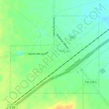
Name: Toyah topographic map, elevation, terrain.
Location: Toyah, Reeves County, Texas, 79785, United States (31.30428 -103.80900 31.32347 -103.78265)
Average elevation: 892 m
Minimum elevation: 879 m
Maximum elevation: 908 m
Other topographic maps
Click on a map to view its topography, its elevation and its terrain.