
Ilseng topographic map
Interactive map
Click on the map to display elevation.
About this map
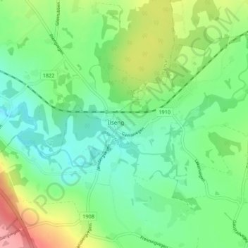
Name: Ilseng topographic map, elevation, terrain.
Location: Ilseng, Stange, Innlandet, 2344, Norway (60.75482 11.20475 60.79482 11.24475)
Average elevation: 162 m
Minimum elevation: 132 m
Maximum elevation: 221 m