
Saraburi topographic map
Interactive map
Click on the map to display elevation.
About this map
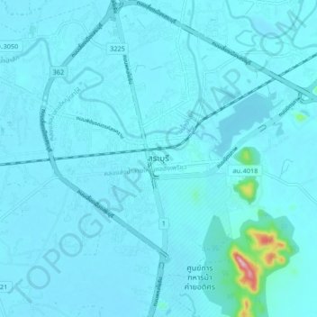
Name: Saraburi topographic map, elevation, terrain.
Location: Saraburi, Takut, Saraburi Province, 18000, Thailand (14.48495 100.87608 14.56495 100.95608)
Average elevation: 22 m
Minimum elevation: 10 m
Maximum elevation: 229 m
Other topographic maps
Click on a map to view its topography, its elevation and its terrain.
Phra Phutthabat
Phra Phutthabat, Than Kasem, Saraburi Province, 18120, Thailand
Average elevation: 77 m
Muak Lek
Muak Lek, Saraburi Province, 18180, Thailand
Average elevation: 266 m
Kaeng Khoi
Kaeng Khoi, Takut, Saraburi Province, 18110, Thailand
Average elevation: 30 m