
Rotonda topographic map
Interactive map
Click on the map to display elevation.
About this map
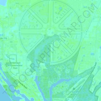
Name: Rotonda topographic map, elevation, terrain.
Location: Rotonda, Charlotte County, Florida, 33947, United States (26.84431 -82.30939 26.91436 -82.24731)
Average elevation: 3 m
Minimum elevation: -7 m
Maximum elevation: 8 m