
Arvika kommun topographic map
Interactive map
Click on the map to display elevation.
About this map
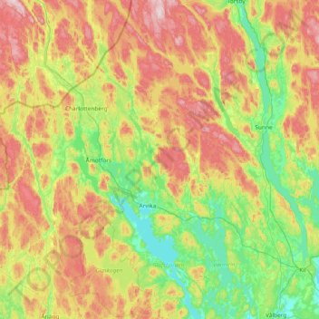
Name: Arvika kommun topographic map, elevation, terrain.
Location: Arvika kommun, Värmland County, Sweden (59.38479 12.27602 60.13677 13.09348)
Average elevation: 182 m
Minimum elevation: 41 m
Maximum elevation: 458 m
Other topographic maps
Click on a map to view its topography, its elevation and its terrain.