
Port Salalah topographic map
Interactive map
Click on the map to display elevation.
About this map
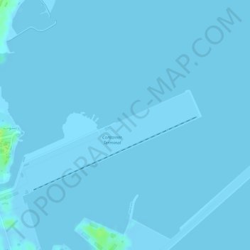
Name: Port Salalah topographic map, elevation, terrain.
Location: Port Salalah, Container Terminal, Rayzut, Dhofar, Oman (16.93998 54.00081 16.95998 54.02081)
Average elevation: 0 m
Minimum elevation: -5 m
Maximum elevation: 13 m