
Sågtorp topographic map
Interactive map
Click on the map to display elevation.
About this map
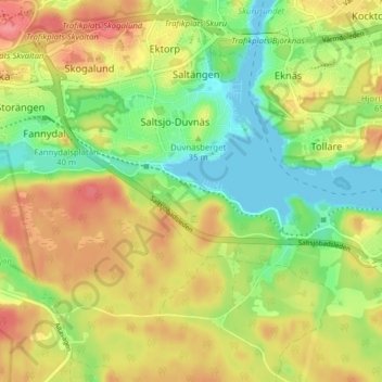
Name: Sågtorp topographic map, elevation, terrain.
Location: Sågtorp, Nacka, Nacka kommun, Stockholm County, 131 50, Sweden (59.27794 18.18813 59.31794 18.22813)
Average elevation: 34 m
Minimum elevation: 0 m
Maximum elevation: 70 m