
Fairlee topographic map
Interactive map
Click on the map to display elevation.
About this map
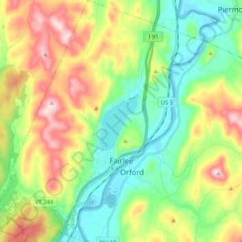
Name: Fairlee topographic map, elevation, terrain.
Location: Fairlee, Orange County, Vermont, 05045, United States (43.87171 -72.22245 43.97466 -72.09942)
Average elevation: 268 m
Minimum elevation: 113 m
Maximum elevation: 540 m