
St. Ives topographic map
Interactive map
Click on the map to display elevation.
About this map
Name: St. Ives topographic map, elevation, terrain.
Average elevation: 161 m
Minimum elevation: 70 m
Maximum elevation: 295 m
Other topographic maps
Click on a map to view its topography, its elevation and its terrain.
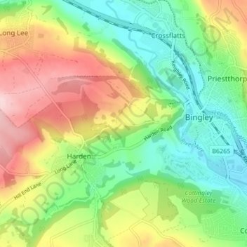
Harden
United Kingdom > England > Bradford > Harden
Harden, Bradford, West Yorkshire, England, United Kingdom
Average elevation: 198 m