
Brighton topographic map
Interactive map
Click on the map to display elevation.
About this map
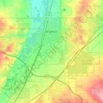
Name: Brighton topographic map, elevation, terrain.
Location: Brighton, Adams County, Colorado, 80603, United States (39.89962 -104.88382 40.01861 -104.71828)
Average elevation: 1,547 m
Minimum elevation: 1,498 m
Maximum elevation: 1,625 m