
Big Island topographic map
Interactive map
Click on the map to display elevation.
About this map
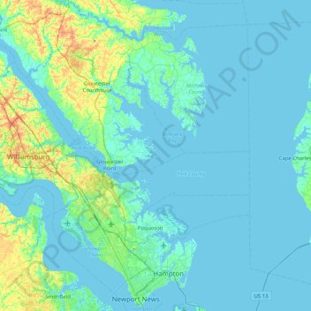
Name: Big Island topographic map, elevation, terrain.
Location: Big Island, Gloucester County, Virginia, United States (36.95209 -76.69772 37.59209 -76.05772)
Average elevation: 6 m
Minimum elevation: -4 m
Maximum elevation: 49 m