
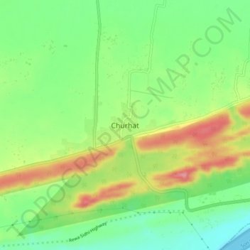
Churhat topographic map
Interactive map
Click on the map to display elevation.
About this map
Name: Churhat topographic map, elevation, terrain.
Location: Churhat, Churhat Tahsil, Sidhi, Madhya Pradesh, 486771, India (24.40796 81.65030 24.44796 81.69030)
Average elevation: 284 m
Minimum elevation: 236 m
Maximum elevation: 349 m