
Wilson topographic map
Interactive map
Click on the map to display elevation.
About this map
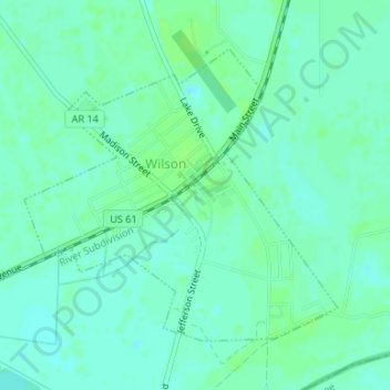
Name: Wilson topographic map, elevation, terrain.
Location: Wilson, Mississippi County, Arkansas, United States (35.55690 -90.05656 35.57714 -90.02985)
Average elevation: 72 m
Minimum elevation: 67 m
Maximum elevation: 76 m