
Reid topographic map
Interactive map
Click on the map to display elevation.
About this map
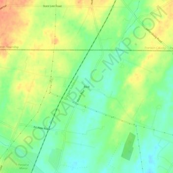
Name: Reid topographic map, elevation, terrain.
Location: Reid, Washington County, Maryland, 17263, United States (39.69238 -77.69907 39.73238 -77.65907)
Average elevation: 188 m
Minimum elevation: 167 m
Maximum elevation: 213 m