
Clayton topographic map
Interactive map
Click on the map to display elevation.
About this map
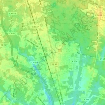
Name: Clayton topographic map, elevation, terrain.
Location: Clayton, Gloucester County, New Jersey, 08312, United States (39.64042 -75.12089 39.67969 -75.03177)
Average elevation: 39 m
Minimum elevation: 27 m
Maximum elevation: 50 m