
Crow Island topographic map
Interactive map
Click on the map to display elevation.
About this map
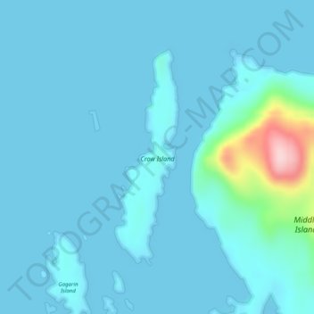
Name: Crow Island topographic map, elevation, terrain.
Location: Crow Island, Sitka, Alaska, United States (57.09836 -135.48231 57.11698 -135.47203)
Average elevation: 21 m
Minimum elevation: -13 m
Maximum elevation: 241 m