
Fairville topographic map
Interactive map
Click on the map to display elevation.
About this map
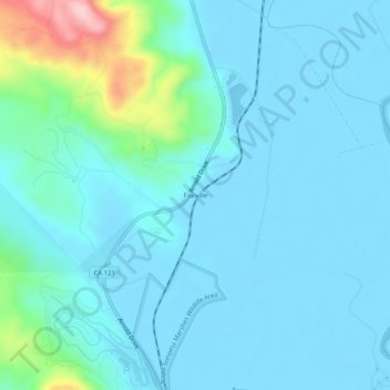
Name: Fairville topographic map, elevation, terrain.
Location: Fairville, Sonoma County, California, United States (38.15797 -122.46553 38.19797 -122.42553)
Average elevation: 32 m
Minimum elevation: -8 m
Maximum elevation: 235 m