
Somerville topographic map
Interactive map
Click on the map to display elevation.
About this map
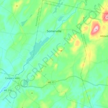
Name: Somerville topographic map, elevation, terrain.
Location: Somerville, Lincoln County, Maine, 04341, United States (44.22675 -69.52822 44.34288 -69.43284)
Average elevation: 86 m
Minimum elevation: 34 m
Maximum elevation: 264 m