
Bethesda topographic map
Interactive map
Click on the map to display elevation.
About this map
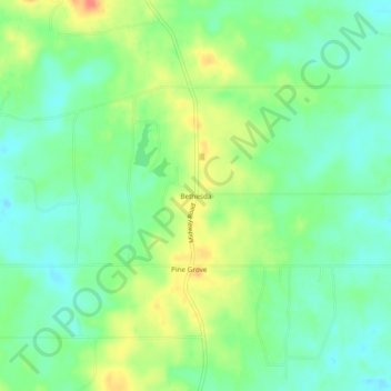
Name: Bethesda topographic map, elevation, terrain.
Location: Bethesda, Hinds County, Mississippi, 39170, United States (32.11710 -90.39037 32.15710 -90.35037)
Average elevation: 112 m
Minimum elevation: 93 m
Maximum elevation: 142 m