
Ráby topographic map
Interactive map
Click on the map to display elevation.
About this map
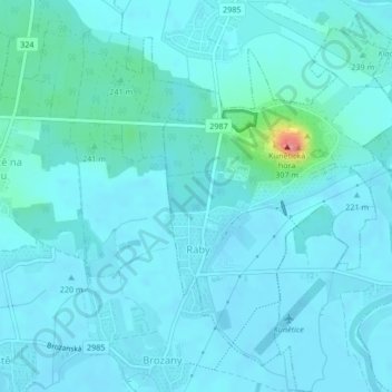
Name: Ráby topographic map, elevation, terrain.
Location: Ráby, okres Pardubice, Pardubický kraj, Northeast, Czechia (50.06499 15.79891 50.08832 15.82419)
Average elevation: 227 m
Minimum elevation: 218 m
Maximum elevation: 305 m