
Cefn Croes topographic map
Interactive map
Click on the map to display elevation.
About this map
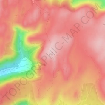
Name: Cefn Croes topographic map, elevation, terrain.
Average elevation: 502 m
Minimum elevation: 322 m
Maximum elevation: 572 m
Other topographic maps
Click on a map to view its topography, its elevation and its terrain.
Devil's Bridge
United Kingdom > Wales > Devil's Bridge
Devil's Bridge, Ceredigion, Wales, SY23 4QY, United Kingdom
Average elevation: 267 m