
Malmsbury topographic map
Interactive map
Click on the map to display elevation.
About this map
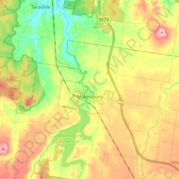
Name: Malmsbury topographic map, elevation, terrain.
Location: Malmsbury, Shire of Macedon Ranges, Victoria, Australia (-37.23506 144.34471 -37.13473 144.43844)
Average elevation: 465 m
Minimum elevation: 374 m
Maximum elevation: 568 m