
Bandariang topographic map
Interactive map
Click on the map to display elevation.
About this map
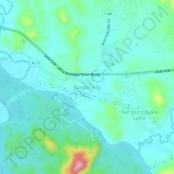
Name: Bandariang topographic map, elevation, terrain.
Location: Bandariang, Hulu Perak District, Perak, Malaysia (5.43214 101.17329 5.47214 101.21329)
Average elevation: 140 m
Minimum elevation: 105 m
Maximum elevation: 299 m