
Qana topographic map
Interactive map
Click on the map to display elevation.
About this map
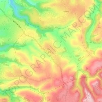
Name: Qana topographic map, elevation, terrain.
Location: Qana, Tyre District, South Governorate, Lebanon (33.18925 35.27904 33.22925 35.31904)
Average elevation: 291 m
Minimum elevation: 126 m
Maximum elevation: 419 m