
Grand Blanc topographic map
Interactive map
Click on the map to display elevation.
About this map
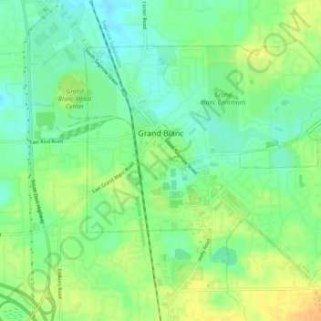
Name: Grand Blanc topographic map, elevation, terrain.
Location: Grand Blanc, Genesee County, Michigan, United States (42.91006 -83.64251 42.93852 -83.59038)
Average elevation: 258 m
Minimum elevation: 244 m
Maximum elevation: 274 m