
West Fargo topographic map
Interactive map
Click on the map to display elevation.
About this map
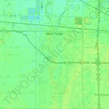
Name: West Fargo topographic map, elevation, terrain.
Location: West Fargo, Cass County, North Dakota, 58078, United States (46.80394 -96.95935 46.90620 -96.86162)
Average elevation: 276 m
Minimum elevation: 270 m
Maximum elevation: 280 m
Other topographic maps
Click on a map to view its topography, its elevation and its terrain.