
Laporte topographic map
Interactive map
Click on the map to display elevation.
About this map
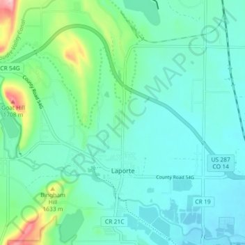
Name: Laporte topographic map, elevation, terrain.
Location: Laporte, Larimer County, Colorado, United States (40.61220 -105.17823 40.66322 -105.10639)
Average elevation: 1,563 m
Minimum elevation: 1,525 m
Maximum elevation: 1,718 m