
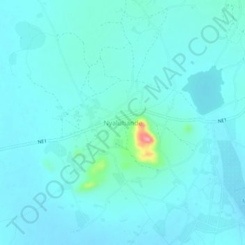
Nyaluhande topographic map
Interactive map
Click on the map to display elevation.
About this map
Name: Nyaluhande topographic map, elevation, terrain.
Location: Nyaluhande, Bariadi, Simiyu, Lake Zone, Tanzania (-2.52134 33.59079 -2.48134 33.63079)
Average elevation: 1,168 m
Minimum elevation: 1,155 m
Maximum elevation: 1,266 m