
Hectors River topographic map
Interactive map
Click on the map to display elevation.
About this map
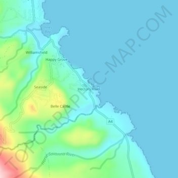
Name: Hectors River topographic map, elevation, terrain.
Location: Hectors River, Portland, Surrey County, Jamaica (17.98221 -76.28095 18.02221 -76.24095)
Average elevation: 41 m
Minimum elevation: 0 m
Maximum elevation: 251 m