
Fosston topographic map
Interactive map
Click on the map to display elevation.
About this map
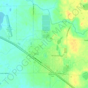
Name: Fosston topographic map, elevation, terrain.
Location: Fosston, Polk County, Minnesota, 56542, United States (47.56838 -95.79053 47.60143 -95.73427)
Average elevation: 393 m
Minimum elevation: 382 m
Maximum elevation: 408 m