
Landing topographic map
Interactive map
Click on the map to display elevation.
About this map
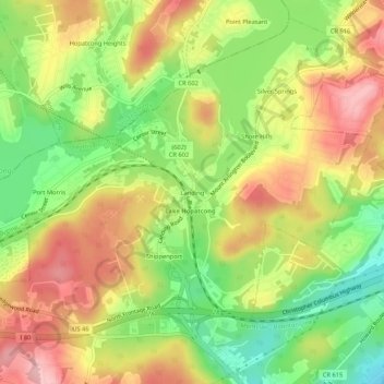
Name: Landing topographic map, elevation, terrain.
Average elevation: 297 m
Minimum elevation: 220 m
Maximum elevation: 369 m
Other topographic maps
Click on a map to view its topography, its elevation and its terrain.
Ledgewood
United States > New Jersey > Morris County > Roxbury Township
Ledgewood, Roxbury Township, Morris County, New Jersey, 07852, United States
Average elevation: 265 m