
Highland topographic map
Interactive map
Click on the map to display elevation.
About this map
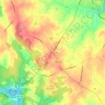
Name: Highland topographic map, elevation, terrain.
Location: Highland, Howard County, Maryland, 20777, United States (39.15911 -76.97756 39.19911 -76.93756)
Average elevation: 139 m
Minimum elevation: 87 m
Maximum elevation: 174 m