
Southern Eagle Owl topographic map
Interactive map
Click on the map to display elevation.
About this map
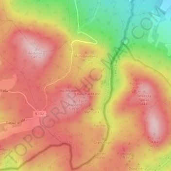
Name: Southern Eagle Owl topographic map, elevation, terrain.
Average elevation: 442 m
Minimum elevation: 275 m
Maximum elevation: 540 m
Other topographic maps
Click on a map to view its topography, its elevation and its terrain.
Northern Eagle Owl
Northern Eagle Owl, Zittau, Görlitz, Saxony, 02797, Germany
Average elevation: 440 m