
Dhakuri topographic map
Interactive map
Click on the map to display elevation.
About this map
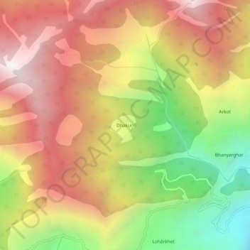
Name: Dhakuri topographic map, elevation, terrain.
Location: Dhakuri, Jhundidhar, Kapkot, Bageshwar, India (30.03534 79.91075 30.07534 79.95075)
Average elevation: 2,433 m
Minimum elevation: 1,497 m
Maximum elevation: 3,205 m