
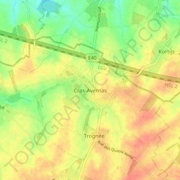
Cras-Avernas topographic map
Interactive map
Click on the map to display elevation.
About this map
Name: Cras-Avernas topographic map, elevation, terrain.
Location: Cras-Avernas, Hannut, Waremme, Liège, Wallonia, 4280, Belgium (50.67790 5.10284 50.71790 5.14284)
Average elevation: 129 m
Minimum elevation: 102 m
Maximum elevation: 149 m