
Bulls Gap topographic map
Interactive map
Click on the map to display elevation.
About this map
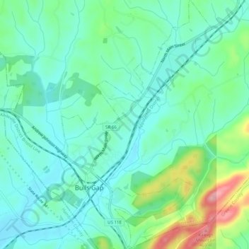
Name: Bulls Gap topographic map, elevation, terrain.
Location: Bulls Gap, Hawkins County, Tennessee, United States (36.24371 -83.09183 36.28354 -83.06165)
Average elevation: 368 m
Minimum elevation: 335 m
Maximum elevation: 465 m