
Veitastrond topographic map
Interactive map
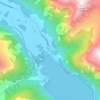
Click on the map to display elevation.
About this map
Name: Veitastrond topographic map, elevation, terrain.
Location: Veitastrond, Luster, Vestland, 6878, Norway (61.45280 7.02430 61.49280 7.06430)
Average elevation: 477 m
Minimum elevation: 166 m
Maximum elevation: 1,367 m