
Kondapur topographic map
Interactive map
Click on the map to display elevation.
About this map
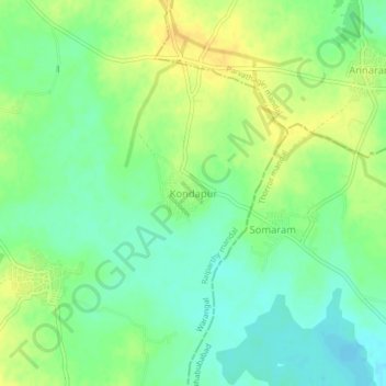
Name: Kondapur topographic map, elevation, terrain.
Location: Kondapur, Raiparthy mandal, Warangal Rural, Telangana, India (17.65884 79.66088 17.69884 79.70088)
Average elevation: 223 m
Minimum elevation: 211 m
Maximum elevation: 235 m