
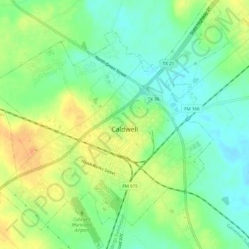
Caldwell topographic map
Interactive map
Click on the map to display elevation.
About this map
Name: Caldwell topographic map, elevation, terrain.
Location: Caldwell, Burleson County, Texas, 77836, United States (30.51096 -96.72323 30.55167 -96.67707)
Average elevation: 113 m
Minimum elevation: 94 m
Maximum elevation: 138 m