
Whitehall topographic map
Interactive map
Click on the map to display elevation.
About this map
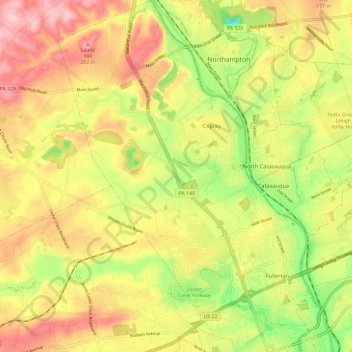
Name: Whitehall topographic map, elevation, terrain.
Location: Whitehall, Lehigh County, Pennsylvania, United States (40.61237 -75.54718 40.70223 -75.45969)
Average elevation: 122 m
Minimum elevation: 15 m
Maximum elevation: 217 m