
Luraville topographic map
Interactive map
Click on the map to display elevation.
About this map
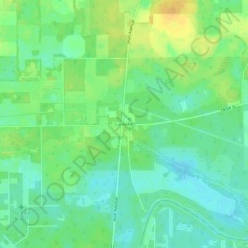
Name: Luraville topographic map, elevation, terrain.
Location: Luraville, Suwannee County, Florida, United States (30.10245 -83.18930 30.14245 -83.14930)
Average elevation: 20 m
Minimum elevation: 9 m
Maximum elevation: 35 m