
Mill Run topographic map
Interactive map
Click on the map to display elevation.
About this map
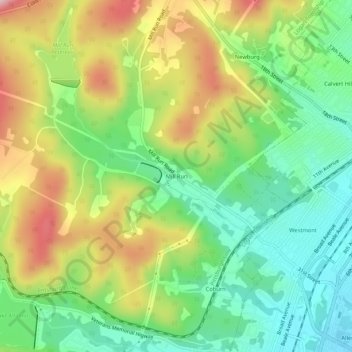
Name: Mill Run topographic map, elevation, terrain.
Average elevation: 443 m
Minimum elevation: 337 m
Maximum elevation: 600 m
Other topographic maps
Click on a map to view its topography, its elevation and its terrain.
Greenwood
United States > Pennsylvania > Blair County > Logan Township > Greenwood
Greenwood, Logan Township, Blair County, Pennsylvania, 166602, United States
Average elevation: 426 m