
Tabernash topographic map
Interactive map
Click on the map to display elevation.
About this map
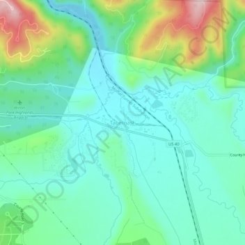
Name: Tabernash topographic map, elevation, terrain.
Location: Tabernash, Grand County, Colorado, 08442, United States (39.97360 -105.86307 40.01360 -105.82307)
Average elevation: 2,592 m
Minimum elevation: 2,519 m
Maximum elevation: 2,802 m